Key points
- ELTE researchers used AI to reconstruct the Great Hungarian Plain's landscape prior to 19th-century river regulation.
- The method combined historical maps, drone imagery, and biological data rather than relying on standard text prompts.
Researchers at Eötvös Loránd University in Budapest applied artificial intelligence to recreate the historical topography of the Great Hungarian Plain, according to a report by Bing News.reported The team focused on the area before large-scale river regulation and wetland draining altered the landscape.The team fed the AI many types of real-world data to make sure the pictures were scientifically correct.The study demonstrates that multimodal data integration significantly improves the topographical fidelity of generative AI outputs.
What was released or claimed
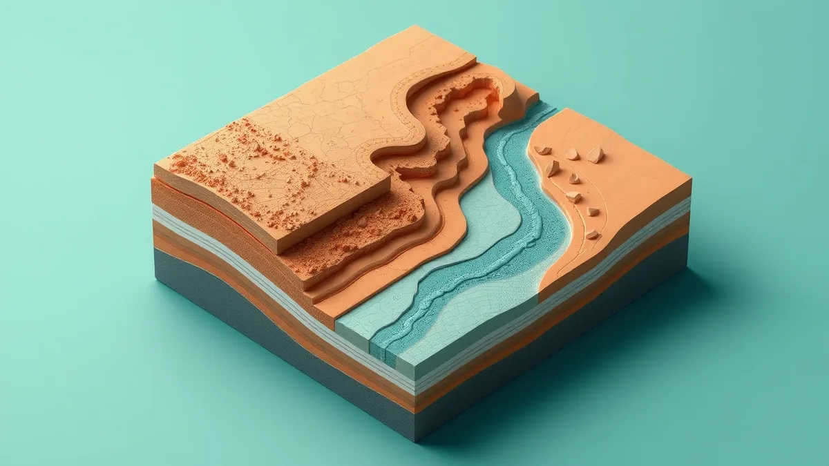
The researchers generated images of the region as it appeared more than two centuries ago. They utilized historical maps as the primary basis for the visual reconstructions. Modern photographs and drone imagery helped recreate the actual natural features of the terrain with greater precision.
Who it affects
It also provides tools for experts analyzing the consequences of wetland restoration and natural environment changes caused by drought.
What is still unknown
The material does not specify which AI models or software versions were used to process the data. It also does not detail the computational resources required or the specific accuracy metrics compared to ground-truth data from the historical period.
The practical upshot
Experts note that this method creates reliable and informative visualizations. These images help reveal interconnections that are difficult to grasp using only text and tables. The approach moves beyond standard text prompts by feeding the AI substantial scientific data.
What the rules require
The source material does not establish any industry rules, compliance standards, or requirements for product teams. They provided the AI with substantial scientific data to produce reconstructions with accurate topography. No general directives for other teams are stated.
Why it matters
- AI reconstructions provide accurate topography by combining historical maps with scientific data rather than relying on standard text prompts.
- The method enables reliable visualizations that reveal interconnections difficult to grasp from text and tables alone.
- The technique can be applied to predict consequences of wetland restoration and environmental changes caused by drought.
- Large-scale river regulation drastically reduced the Tisa River’s length from 1,211 to 758 kilometers to convert floodplains into farmland.
Topics: generative AI, geospatial data, historical mapping, environmental science
Updated
Then / now / next
The Tisa River featured rich meanders and side channels, regularly flooding the surrounding Great Hungarian Plain.
AI reconstructions show the pre-regulation landscape using combined historical and modern data sources.
Researchers may apply this data-rich AI method to predict outcomes of wetland restoration projects.
Story timeline
- Then The Tisa River featured rich meanders and side channels, regularly flooding the surrounding Great Hungarian Plain.
- Now AI reconstructions show the pre-regulation landscape using combined historical and modern data sources.
- Next Researchers may apply this data-rich AI method to predict outcomes of wetland restoration projects.
Ask the article
Local keyword search of this article; no generated answers.Did this article give you the evidence you needed?
Your choice stays on this device. No public tally.Questions readers ask
What data sources did the researchers use for the AI reconstruction?
They used historical maps, modern photographs, drone imagery, vegetation inventories, pollen analysis, and charcoal studies.
Can this method be used for future predictions?
Yes, the method can predict consequences of wetland restoration and environmental changes caused by drought.
How did river regulation change the Tisa River's length?
The Tisa River's length was reduced from 1,211 kilometers to 758 kilometers due to straightening efforts.
Reading receipt
- ELTE researchers used AI to reconstruct the Great Hungarian Plain's landscape prior to 19th-century river regulation.
- The method combined historical maps, drone imagery, and biological data rather than relying on standard text prompts.
Still open: Which specific AI architecture was used for the reconstruction?
Still open: How does the accuracy compare to other historical mapping methods?